Case No. #1644
Zimbabwe, Mount Nyangani "Looping Trails and Distorted Perspectives" Localized Spatial Distortion Incident
Summary
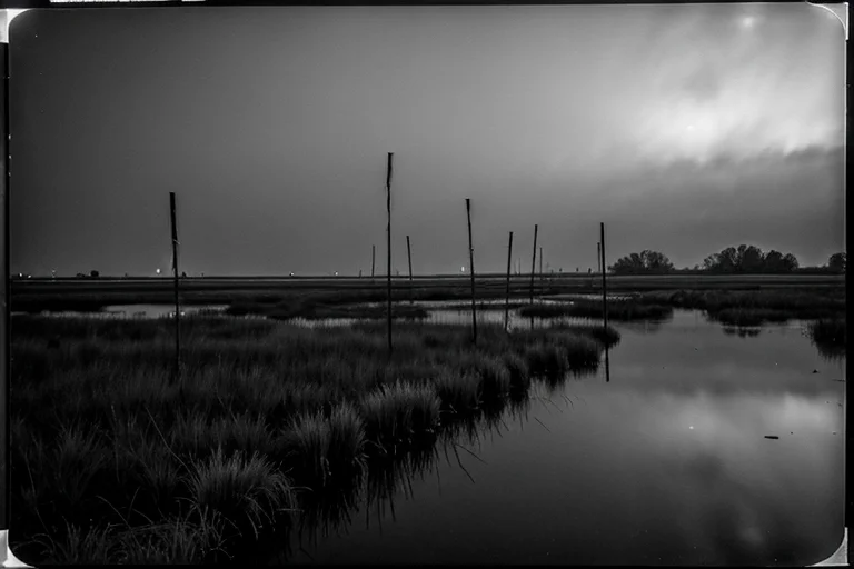
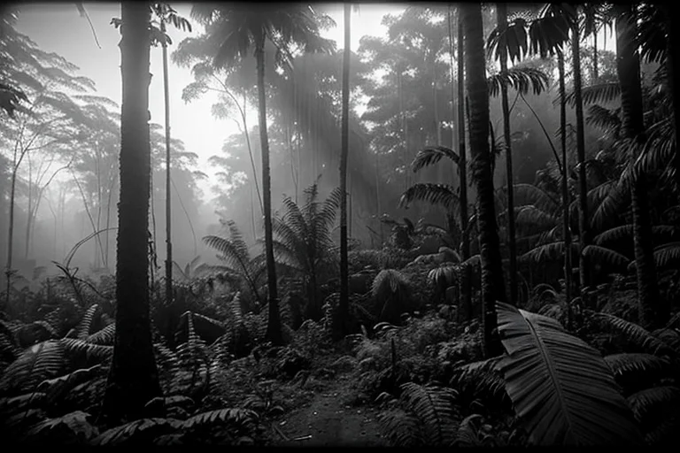
In Mount Nyangani, the highest peak in Zimbabwe's Eastern Highlands, multiple reports describe looping paths and spatial distortion phenomena along specific hiking trails. Hikers report being unable to reach their destinations, encountering repetitive scenery, and experiencing compass and GPS malfunctions. These anomalies are particularly pronounced in dense fog, often accompanied by a loss of temporal perception. The authorities have been investigating this peculiar spatial distortion incident since 2022, but its nature remains unknown.
Details
Ancient local legends speak of trails on Mount Nyangani that mislead travelers on foggy days. On August 15, 2022, a group of hikers on the Mutarazi Falls trail reported experiencing the same rocks and trees repeatedly appearing before them, causing them to circle the same spot for several hours. Their GPS recorded anomalous trajectories, and their compasses spun erratically.
Similar reports have sporadically surfaced in the past, with local rangers also recounting experiences of disorientation in specific areas. Cases of spatial continuity loss were concentrated, especially during dense fog or sudden weather changes. Past missing persons records include multiple instances where individuals were found after tracing routes not depicted on any map.
The authorities initiated a detailed investigation on May 22, 2023. A team of experts, equipped with advanced surveying instruments, high-precision GPS, and drones, conducted multiple reconnaissance missions in the affected area. However, the investigation team itself experienced discontinuities in their routes and altered temporal perceptions. GPS data showed unexpected jumps, and laser scanners reported that measurement targets were topologically 'non-existent'.
Aerial footage captured by drones exhibited anomalies, recording terrains inconsistent with the observation points. At specific coordinates, digital equipment temporarily malfunctioned, resulting in data loss. Multiple investigators reported a shared sensation of passing through the same location within short periods, with landscapes appearing oddly 'flat' or perspectives distorted.
There is a consistent contradiction between the testimonies of local guides and the data from surveying instruments. Guides claimed to have passed specific points, but the data recorded either no arrival at those points or a discontinuous arrival hours later. This phenomenon suggests a physical spatial alteration that cannot be explained by mere visual illusions or loss of direction.
Authorities have designated the affected area as a 'restricted access zone' and established continuous surveillance. A wireless sensor network and automated observation drones have been deployed to attempt to identify the conditions and periodicity of the spatial anomalies. At present, the mechanism of this spatial distortion phenomenon remains unexplained.
The cause is unknown, but authorities suggest a possible link between this phenomenon and specific weather conditions or topographical factors. However, precise triggers have not been identified. Authorities continue to investigate this incident and remain vigilant for signs of recurrence.
Timeline
- August 15, 2022Hiking group reports path repetition and GPS anomalies on a mountain trail. First report received.
- March 7, 2023Local rangers provide authorities with past similar reports and local legends.
- May 22, 2023Authorities deploy first investigation team of experts. Equipment malfunctions and spatial discontinuities recorded.
- July 11, 2023Aerial drone footage confirms repetition of the same section of the trail.
- September 5, 2023The affected area is designated as a restricted access zone.
Witness Testimony
Witness A (Hiker)Before I knew it, the same tree, the same rock I had just passed was in front of me again. It felt like walking in circles in the same place repeatedly. My GPS was completely useless.
Local Guide BLegends say this mountain has spirits that lead people astray. We've always been told to be extra careful on foggy days. But I've never experienced such blatant repetition before.
Investigator COur surveying instruments indicated coordinate discontinuities at specific points, especially noticeable in poor visibility. It is impossible to explain logically.
Kyu's Analysis
Persistent spatial distortion. Recurs under specific conditions. Continuous monitoring is required.