Case No. #1624
Bolivia, Cordillera Real: "Drifting Rocks and Displaced Earth" Localized Spatial Distortion Incident
Summary
In October 2021, reports emerged from the high altitudes of Bolivia's Cordillera Real concerning subtle ground displacement and the irregular "drift" of rocks at a specific location. This phenomenon, while appearing visually static, indicated periodic topographical distortion through physical measurements. Initially suspected to be geological, detailed investigation revealed a spatial anomaly unexplainable by ordinary landslides or erosion. Observation equipment installed at the site periodically recorded data loss and temporal discrepancies. Local residents have long referred to it as "the place where the earth breathes." Authorities continue to monitor this enigmatic event.
Details
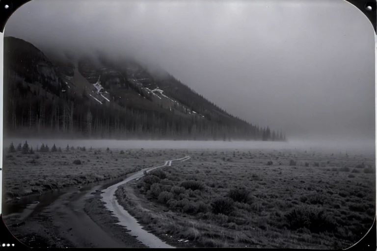
On October 17, 2021, around 14:00, José Quispe, a goat herder, noticed a strange anomaly at an altitude of approximately 4,800m in Bolivia's Cordillera Real. A cairn he had placed as a landmark the previous day had moved about 1.5m to the east. This cairn was too heavy to be easily moved, and Quispe initially suspected strong winds or animals. However, there were no clear drag marks on the surrounding ground, and the cairn remained in its original shape, as if quietly reset.
Over the following weeks, not only Quispe but also residents from nearby areas reported similar occurrences. Specific depressions and rock arrangements near water sources consistently appeared in slightly different positions. Local legends, passed down for generations, spoke of "Titicaca's Breath," where the earth possessed a will and moved objects. Furthermore, a mining exploration team working in the vicinity accidentally discovered topographical discrepancies of up to several meters between their 2019 and 2021 survey data, unable to determine the cause.
In March 2022, authorities introduced a fixed observation system to the site. Precise GPS sensors, inclinometers, and fixed-point cameras were installed, beginning an attempt to capture ground movements in millimetric detail. The initial expectation was to identify surface changes due to landslides or freeze-thaw cycles characteristic of high-mountain regions. However, after several months of data collection, the observation equipment showed movements with a combination of regularity and irregularity unexplainable by existing geological models. The ground periodically rose and fell subtly over 2-5 day cycles, with surrounding rocks moving several centimeters to tens of centimeters each time.
The fixed-point camera footage, however, captured no clear moments of these distinct physical movements. Despite appearing static in the video, GPS data clearly indicated displacement, creating an inexplicable contradiction as if space itself had warped during this period. Furthermore, strangely, multiple sensors periodically reported simultaneous data loss or internal clock delays ranging from a few seconds to several minutes during observation. These anomalies were peculiar events unexplainable by external physical interference or known electromagnetic sources.
During specific periods, extremely faint static electricity was detected enveloping the entire observation site, causing temporary interference with wireless communications. This static electricity, while not strong enough to be felt on the skin, appeared as clear peaks on measurement devices. The rock movement patterns also changed in irregular directions, seemingly independent of physical laws such as gravity or slope, as if possessing a "will" of their own. The phenomenon was suggested to affect depths several meters below the surface, but direct confirmation through excavation was deemed difficult at present due to its instability.
Authorities dispatched multiple geologists, physicists, and even archaeologists to the site, but a unified explanation for this phenomenon has not yet been reached. Displacements continue to occur irregularly at the observation point, and its mechanism remains unexplained. This spatial distortion, considering its potential long-term impact on the surrounding environment, remains under strict surveillance. The Authority prioritizes the continuous recording and analysis of this event, which defies conventional geophysics.
Timeline
- October 17, 2021, approx. 14:00José Quispe discovers the moved cairn while herding
- Early November 2021Multiple similar reports from local residents confirmed, geological survey team also reports topographical discrepancies
- March 10, 2022Authorities install an observation system on site and begin precise data collection
- April 22, 2022, 03:12Observation equipment records the first data loss and internal clock temporal delay
- June 15, 2023An external expert team conducts an on-site investigation but fails to identify the phenomenon's mechanism
Witness Testimony
José Quispe (Witness)The cairn is not mine. The earth moved them. It has always been said, this is 'the place where the earth breathes'.
Geological Surveyor AGPS data clearly shows movement. But to the eye, the rocks aren't moving. It's as if space itself is rippling. The physical laws we know simply don't apply here.
Kyu's Analysis
A spatial anomaly where observational data and visual information diverge. A localized redefinition of physical laws, or interference from an undiscovered energy source? Recording continues.