Case No. #1501
The Vanishing Trail on the Rokkō Mountains
Summary
On the night of May 13, 2023, five experienced hikers on the Rokkō mountain range in Kobe, Hyogo, encountered a repeatedly blocked trail that GPS confirmed should not be obstructed. The group spent three hours unable to advance along a familiar route, while the moon appeared abnormally large and red, and compass and GPS readings were erratic. At approximately 11:00 p.m. the obstruction "seemed to lift"; they reached the trailhead in five minutes. The following morning, the same trail was walked without any anomaly. No physical barrier was found.
Details
The Rokkō mountain range rises to the north of Kobe city and is served by numerous well-maintained hiking routes. On May 13, 2023, five experienced hikers began an evening and night hike on a familiar trail at dusk.
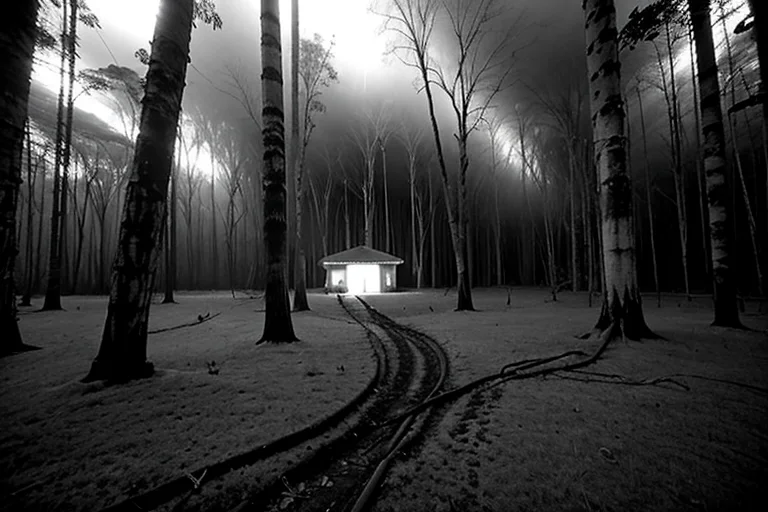
At around 8:00 p.m., at a junction, the group took their customary route. After approximately ten minutes, a rock face blocked the way forward. Neither the map nor the GPS showed any obstruction at that point. Returning and trying a second route produced the same result. A third attempt met the same outcome. This continued for three hours — the group moving confidently on GPS-confirmed paths that nonetheless ended in impassable walls.
During this period, all five members independently noticed the moon appeared unusually large, low, and red. Several described the impression that the moon was lower than its actual position. The group's compasses lost consistent orientation, and GPS position data jumped by tens of meters at intervals.
At around 11:00 p.m., the group reported a sudden sensation of "the path opening up." They proceeded and reached the parking area in five minutes. The following morning, the route was walked in its entirety without anomaly; no rock face or barrier was found at any of the previously blocked points.
Geomagnetic variation in the Rokkō range has been confirmed as occurring periodically — this could account for compass and GPS instability. However, geomagnetic variation does not cause physical trails to become impassable. Scattered "unresolvable trail-loss" reports from the Rokkō range exist in Bureau records across prior years.
Timeline
- May 13, 2023 — c. 8:00 p.m.Group of five takes familiar junction; trail blocked by rock face 10 minutes in. GPS shows no obstruction.
- May 13, 2023 — 8:00–11:00 p.m.Three alternative routes all blocked. Moon appears abnormally red and large. Compass and GPS erratic.
- May 13, 2023 — c. 11:00 p.m.Blockage "lifts"; group reaches trailhead in five minutes. Three-hour anomaly resolves.
- May 14, 2023 — morningSame route walked normally. No rock face or barrier found anywhere.
- June 2023Geomagnetic variation survey; periodic anomalies in Rokkō confirmed; insufficient to explain trail blockage.
- PresentCross-referencing with Rokkō prior trail-loss reports ongoing.
Witness Testimony
Group leader (male, 40s)"I've walked this route more than twenty times. There's no wall there. GPS said we were going the right way. But there was a rock face. The next morning it was gone. It wasn't a dream."
Group member (female, 30s)"The moon was wrong. Red, large, low. It looked that way the entire night. The next day, normal. Everything about that night was wrong."
Group member (male, 40s)"The compass was unreliable. The phone GPS kept jumping. Geomagnetic disturbance does happen in mountains. But magnetic disturbance doesn't make paths disappear."
Kyu's Analysis
Five experienced hikers lost for three hours. The next morning, nothing. The Rokkō range occasionally rewrites its routes.